Braddan’s coastline stretches south from the boundary with Douglas at the castellated Marine Drive arch, along the coastal road to Port Soderick, where Braddan ends at the Crogga river.
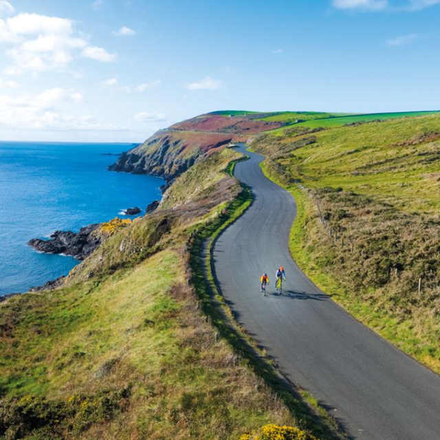
Marine Drive
Marine Drive now forms part of the Raad ny Foillan (Way of the Gull), the 100 mile long coastal footpath encircling the island.
The waters off Marine Drive are designated as a Marine Nature Reserve; one of ten in Manx waters, providing protected habitats for important species. The east of the island and Marine Drive in particular, provides a spectacular viewing point for marine life.
Information about the various species of dolphins and whales passing along the coast, may be found on the Manx Whale and Dolphin Watch website.
In 2021, Marine Drive was designated an Area of Special Scientific Interest (ASSI), to protect important habitats and birdlife. More information about the ASSI can be found here.
Star Gazing
There are two Dark Sky sites along Marine Drive – The car park at Little Ness and the upper car park at Port Soderick – where the night sky can be viewed without the noise of light pollution. Links to both sites can be found below: